 vesseltracker.com
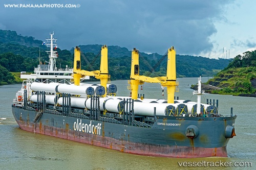
Vessel '255806386' IMO: 9717668, MMSI: 255806386
UTC, 42.15384, 41.66185, course: 93, speed: 0.1
UTC, 42.15384, 41.66189, course: 93, speed: 0
2026-02-13 03:41:22 UTC, 42.15375, 41.66192, course: 93, speed: 0.1
Live AIS position:
UTC. Near Poti),
updated 2026-02-13 03:41:22 UTC.
Find the position of the vessel '255806386' on the map. The latter are known coordinates and path.
marine traffic ship tracker show on live map
The current position of vessel '255806386' is 42.15375 lat / 41.66192 lng. Updated: 2026-02-13 03:41:22 UTCDetails:
Last coordinates of the vessel:
UTC, 42.15382, 41.66185, course: 93, speed: 0.1UTC, 42.15384, 41.66185, course: 93, speed: 0.1
UTC, 42.15384, 41.66189, course: 93, speed: 0
2026-02-13 03:41:22 UTC, 42.15375, 41.66192, course: 93, speed: 0.1